I have just received this which may be useful to you:
Having trouble viewing this email? View it as a Web page.

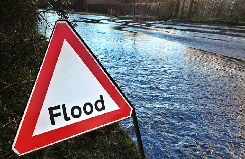
FLOOD WARNING - Multiple Areas in Leeds
Dear SWG Member,
ENVIRONMENT AGENCY – FLOOD ALERT(s)
Flood Alerts in force:
- Gledhow Beck @ Harehills;
- Meanwood Beck @ Buslingthorpe & Sheepscar;
- Meanwood Beck @ Buslingthorpe;
- Mabgate and Quarry Hill;
- Meanwood Beck @ Headingley and Weetwood;
- Wyke Beck and Meanwood Beck catchments;
- Lower River Wharfe;
- Cock Beck @ Stanks; and
- Wortley Beck catchment
which covers
All included within this message (apologies for not listing)
Flooding is possible for:
- Gipton beck and Gledhow beck including properties on and close to Roundhay Road, Markham Avenue and Gledhow Valley Road
- Meanwood Beck including properties on and close to Meanwood Road, Buslingthorpe Lane, Buslingthorpe Mills, Sackville Street and Barrack Street
- Meanwood Beck including properties on and close to Sheepscar Street, Regent Street and Saint Peter's Street
- Meanwood Beck including properties on and close to Weetwood Mill Lane, Stone Mill Way, Mill Pond Lane, Boothroyd Drive and Sugar Well Road
- Tributaries of the River Aire in North and West Leeds
- The Lower River Wharfe and tributaries from Otley to upstream of Ulleskelf
- Properties at Stanks along Adams Grove, Barwick Road and Stanks Drive
- Tributaries of the River Aire at Wortley Beck, Farnley Beck, Farnley Wood Beck and Millshaw Beck in South Leeds
The RET Duty Officer is monitoring the situation and will update with any warnings, should they be issued OR update following a forecast review.
* Visit the GOV.UK website to see the current flood warnings, view river and sea levels or check the 5-day flood risk forecast: Live flood map - Check for flooding - GOV.UK (check-for-flooding.service.gov.uk)
Duty Emergency Planning Officer
Resilience & Emergencies Team (RET)


